- Spatial Geographic Information Data Service
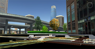
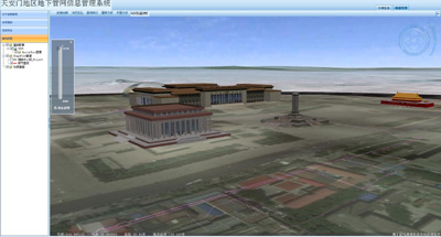
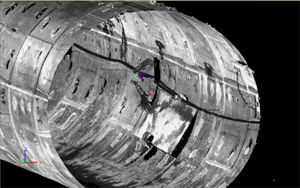
- Remote sensing data processing and analysis, UAV surveying and mapping, 3D laser scanning and data analysis applications, tilting photography three-dimensional reconstruction, three-dimensional geological modeling, three-dimensional pipeline detection.
- Business GIS Development
- Various types of GIS Research and Development